NEWS

FORNACIS

3D Georadar Survey

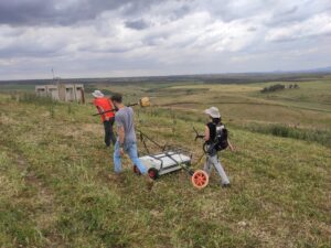
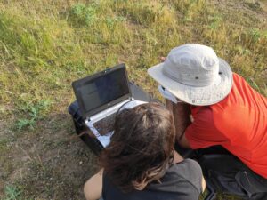
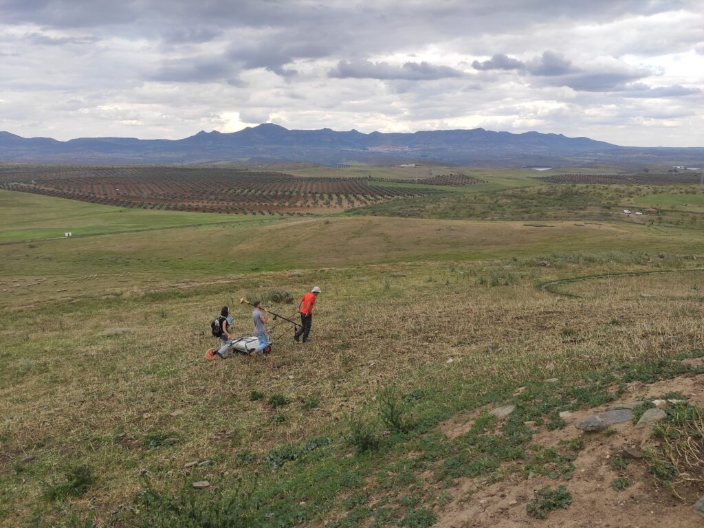
3D Georadar Survey of the Hornachuelos-Fornacis oppidum has begun. This task is included within Objective A.1. “Definition of defenses, urbanism and oppidum stratigraphies” (Axis A). These works have been carried out by the CAI Archeometry Unit of the Complutense University of Madrid, under the supervision of directors of the project.


did you like it?

Share this post

Facebook
Twitter
LinkedIn
WhatsApp
Email
News

FORNACIS website

We are introducing this bilingual website for the purpose of promoting dissemination of the FORNACIS Project over the internet and

Read more
The Project
Publications
Collaborations
FORNACIS
THE OPPIDUM of Fornacis in the historical context of Beturia

You may also like…

New work in Hornachuelos

Yesterday the planned drone flight took place in Hornachuelos to prepare a detailed topographic and photogrammetric plan of the oppidum of Fornacis and its immediate

Read more »
Hornachuelos - FORNACIS - El oppidum de Fornacis en el marco histórico de la Beturia

FORNACIS website

We are introducing this bilingual website for the purpose of promoting dissemination of the FORNACIS Project over the internet and in the main social networks

Read more »