NEWS

FORNACIS

New work in Hornachuelos

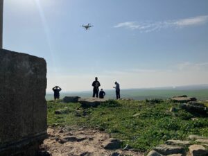
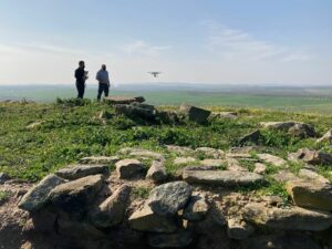
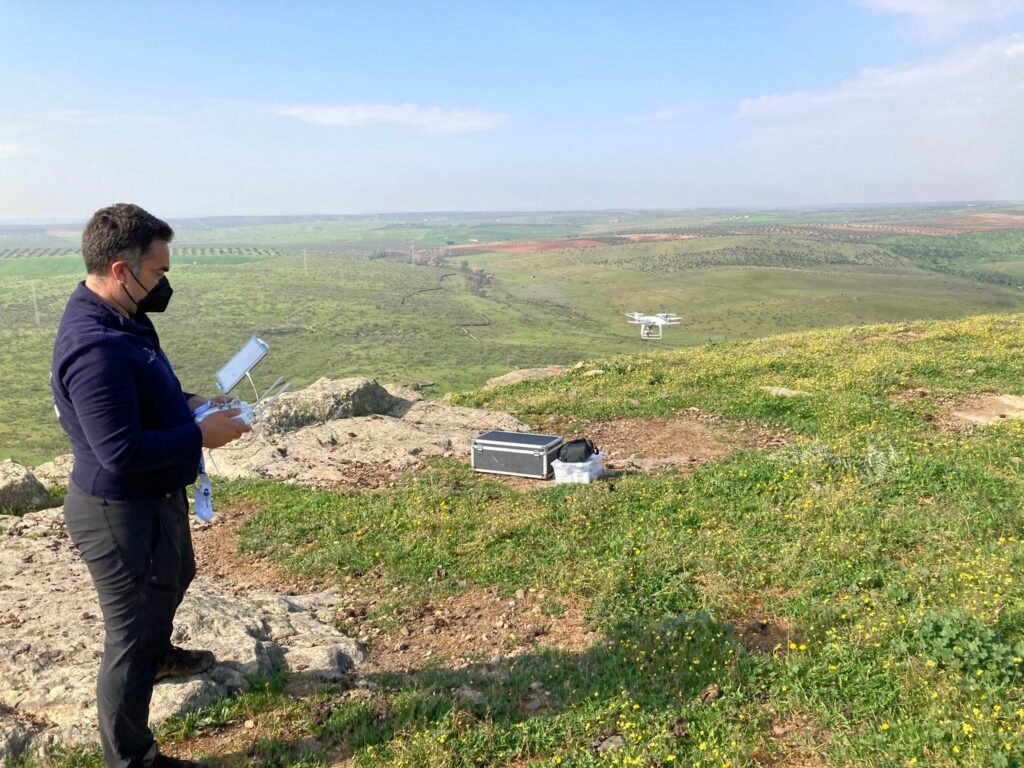
Yesterday the planned drone flight took place in Hornachuelos to prepare a detailed topographic and photogrammetric plan of the oppidum of Fornacis and its immediate surroundings. This task is included in Objective A.1. “Definition of the defenses, urbanism and stratigraphies of the oppidum” (Line A). These works have been carried out by the company Arkeographos and supervised by the directors of the project.


did you like it?

Share this post

Facebook
Twitter
LinkedIn
WhatsApp
Email
News

3D Georadar Survey

3D Georadar Survey of the Hornachuelos-Fornacis oppidum has begun. This task is included within Objective A.1. “Definition of defenses, urbanism

Read more
The Project
Publications
Collaborations
FORNACIS
THE OPPIDUM of Fornacis in the historical context of Beturia

You may also like…